
GOOGLE MAPS FOR MOTORBIKES
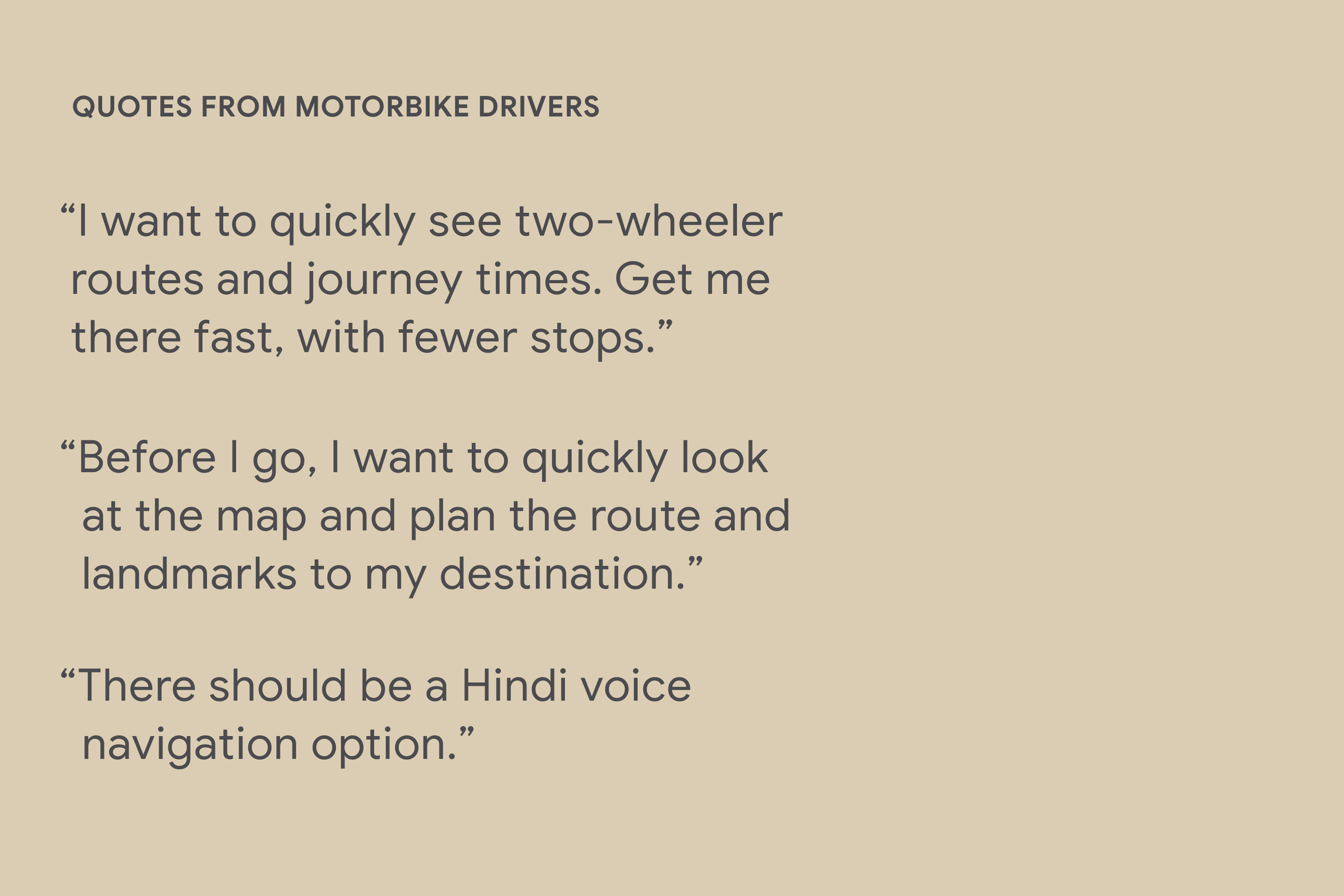
Launched in 250 countries and territories, with one billion users, Google Maps needed to become more inclusive and accessible for cities where motorbikes outnumber cars 4:1. From concept to launch, I led design for motorbike navigation for 60+ cities, with distinct routes, times, branding, and additional voice navigation languages and landmarks on the map. Partnered with product, engineering, research, ops, legal, and marketing teams to translate insights into design. Employed ML models to define distinct motorbike routes. Conducted and participated in field research across India and Indonesia, and worked closely with local guides, startups, data scientists, and activists to enhance inclusion and accessibility of the map and the process. These launches resulted in over 100 million new monthly users to Google Maps mobile and millions of previously excluded addresses, routes, businesses, and several languages becoming visible for the first time in Google Maps history. Featured in Forbes and Google Design.
ROLE
• UX and Visual Design Lead - Driving strategy through execution
• Conducted & Participated in Field Research
• Co-design Facilitator
• Advocate, Connector, and Partnership Builder
(across internal and external teams)


Before / After: Additional landmarks, languages, and distinct routes, times, and iconography was added to the map for previewing before transporting, a common use case for drivers on motorbikes–and many other mobility methods–worldwide.

Several voice navigation languages were added for motorbike, car, and walking routes, with landmark callouts at turns to enhance road distinction and clarity.

Partnered closely with local motorbike delivery drivers, including Gojek, to identify motorbike-specific routes and product pain points.

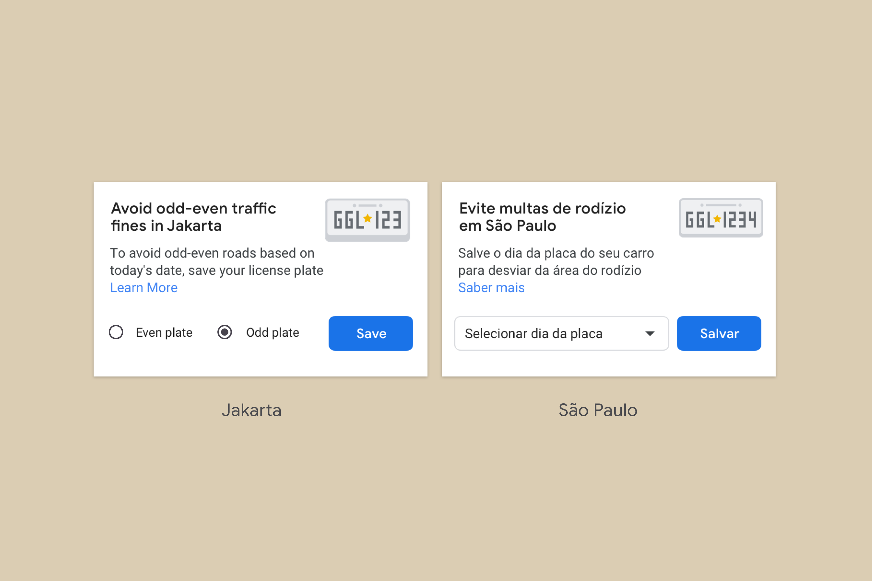
Road rationing filters were added for Jakarta and São Paulo, where there are government policies that restrict cards from driving on certain roads according to their license plate type and the day of the week. Flexible design components were created to meet the diversity of these contexts, while maintaining the overall unity of the Google Maps design system.

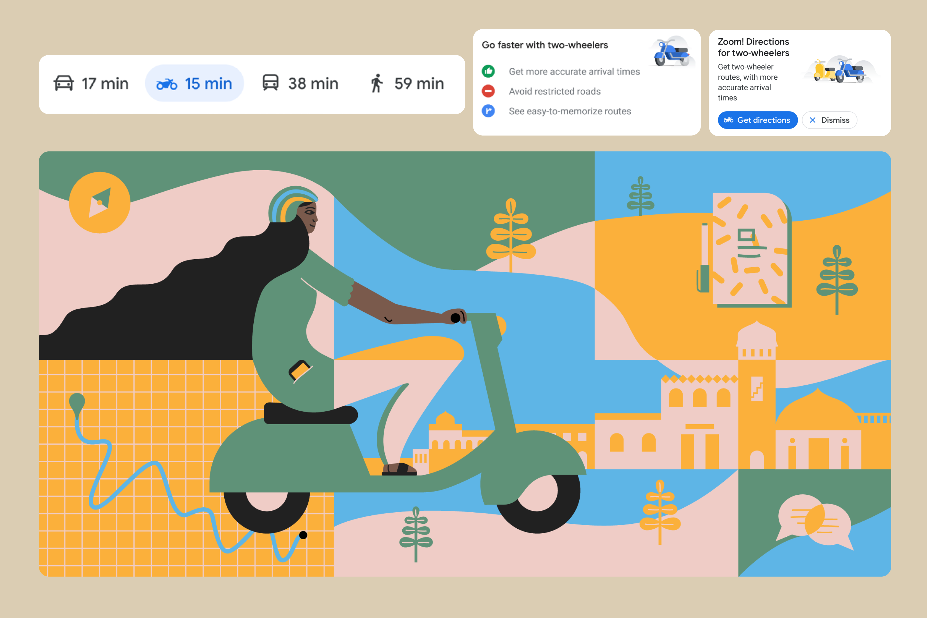
Partnered closely with illustration teams to define the brand design and in-app promos
for Google Maps for Motorbikes.

These launches resulted in over 100 million new monthly users to Google Maps mobile and millions of previously excluded addresses, routes, businesses, and several languages becoming visible for the first time in Google Maps history. Featured in Forbes.